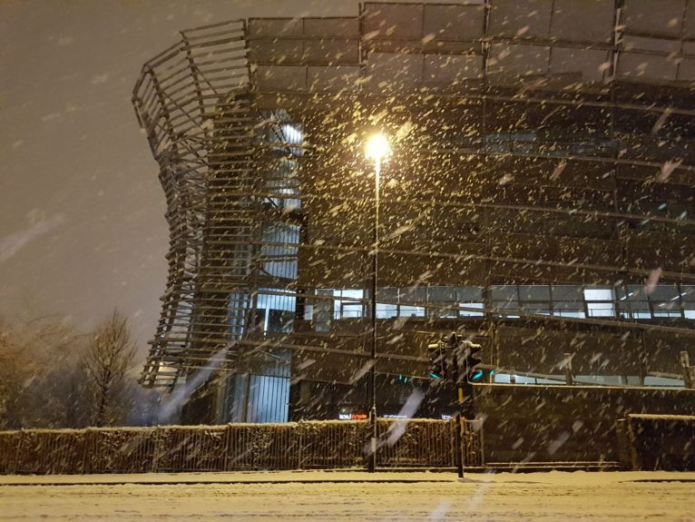
Storm Fionn officially hit Britain on January 16, leaving swathes of the country under deep snow cover following an intense -7C blast.
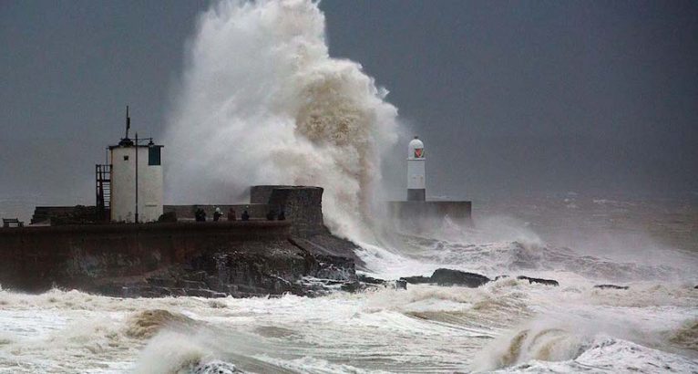
Forecasters warned of gusts of up to 90mph sweeping through the UK for the next two days – with strong winds set hitting the whole of England overnight into January 18.
Gusts reached 93mph in Capel Curig in Wales overnight, as well as 83mph in Tibbenham, Norfolk.
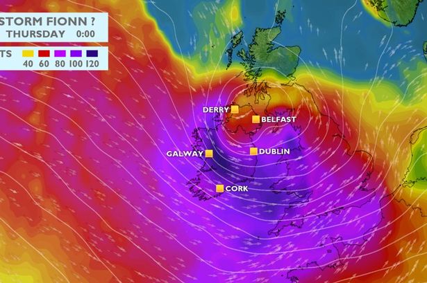
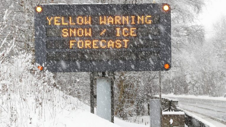
Fionn was predicted to bring eight inches of snow throughout the North West and North East of England, as well as Scotland, where an amber weather warning was in place.
On January 17 traffic bosses then closed parts of the motorway in Lanarkshire in both directions due to wintry conditions for a number of hours – with tailbacks stretching back for six miles.
The latest Met Office warning explained: “The location of the most damaging winds is currently uncertain, although parts of northern and eastern England along with southern Scotland currently look more at risk.
“Along with the strong winds a spell of heavy rain can also be expected, which could also be combined with a temporary thaw of lying snow in the north.”
The Environment Agency warned many river levels in the West Country rose, including the Hayle and Cober in Cornwall.
Meanwhile, southern Scotland, as well as northern and eastern England saw fierce gales sweep in.
Fionn is the sixth storm of the season.